
Here’s a great idea well executed – MapOnShirt uses OpenStreetMap data and some nice custom styling – and an easy-to-use website, to allow you to design your own T-shirt of anywhere in the world. It works best in large built-up places, particularly across new-world cities with their grid structures and other large-scale planned road topologies, but familiar shapes in older cities work too – such as the River Thames.
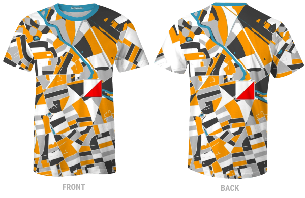
MapOnShirt was kind enough to create a mock-up of a shirt for the recent Street-O race in London that I organised. I reckon these kinds of shirts would make for great prizes for such events.
Related Posts
-
Orienteering 2.0At tomorrow's City of London Race I'm trying something a bit interactive - a Twitter Wall and Photo Wall for the event. Tweet your photos and comments with hashtag #cityrace…
-
Orienteering PodcastsPlenty of orienteering weblogs out there now, including quite a few UK amateurs ones like YepSport. Blogs are so 2004 though, the current buzzword is of course podcasting. Think weblogs…
First (Real) Orienteering Podcast?Mat Dickinson has now posted a couple of short podcasts at OS Now, which I guess makes him the world's first second orienteer podcasting about the sport. Nice one! Now…