So, SLOW had the second City of London race on September 12th. I extended the map west to encompass the Temple and Holborn areas, but left the planning to Alan L, who produced excellent courses that caught out a lot of people. The race was a great success with around 500 competitors this year (up 25% on the previous race) and again some lovely sunshine. The assembly was in the shadow of St Paul’s Cathedral this year which added a certain “wow” factor. ClifBar again sponsored the race, giving finishers a tasty snack as they crossed the finishing line.
See the planner’s comments for the full details of what unfolded – there were some minor problems but few people had their run impacted significantly by them. Roll on next year!
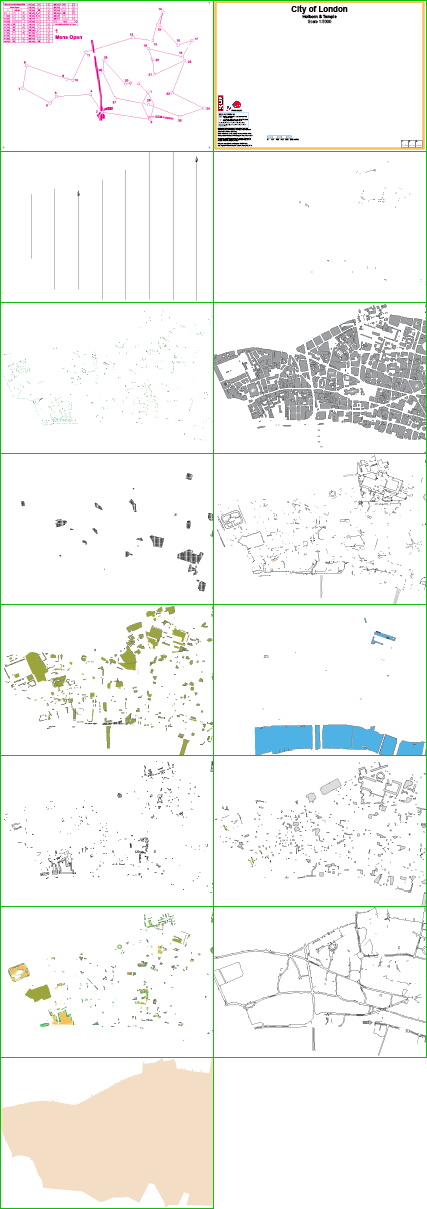
Here’s the layers that were brought together to produce the map (once again, in Adobe Illustrator CS3) – from the top down, they are:
- The course – this layer was produced by the planner, Alan, supplied in EPS format and placed as a top layer.
- The adornments, including the title, logo and scale.
- The north lines.
- Tunnel walls.
- Point features – mainly trees and statues.
- Buildings. The most important layer.
- Construction sites. Mercifully few of these in the new west part of the map.
- Walls, fences and other barriers. Quite difficult for orienteers to spot sometimes!
- Out-of-bounds-areas – the largest one is Lincoln’s Inn.
- Water, including of course the River Thames.
- Steps and path boundary lines.
- Underpasses and canopies. The cartography for these may be tweaked for next year.
- Vegetation, including the few small parks and open spaces in the City.
- Pavement boundaries for the major roads on the map.
- And finally the road colour, which lies under everything else.