I went along to an interesting talk today, by Martin Dodge on user generated cartography, focusing on OpenStreetMap. One of the websites he showed was the ITO website, which has a mode where you can view OSM data, highlighted according to various filters.
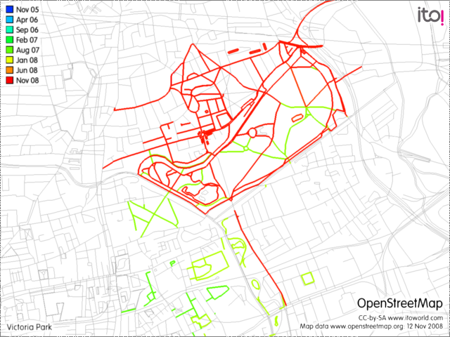
Here’s a graphic from ITO showing the Victoria Park area of East London, with my own contributions highlighted. Click to see the full-size image:
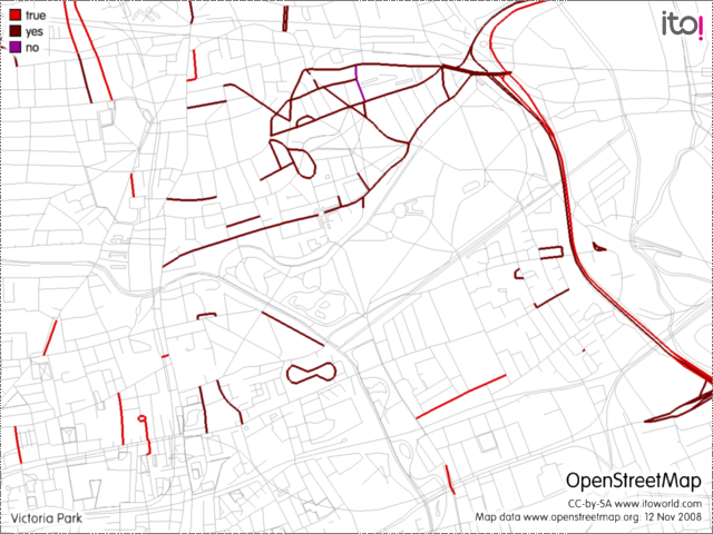
Here’s one showing all the ways tagged as being one-way streets. Looks like Hackney (to the north) is a lot more difficult to navigate in than Tower Hamlets (to the south):
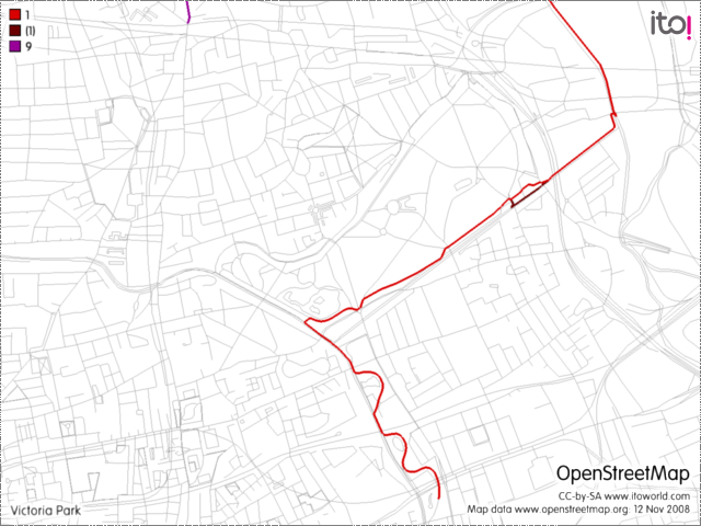
This map shows the nearby National Cycle Network routes:
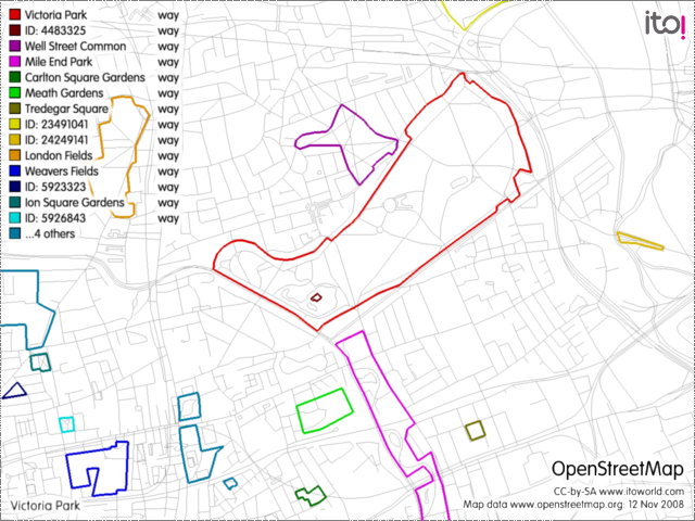
…and here’s where the parks are: