The big urban orienteering event on the streets of London, that Brooner and I started back in 2008, is once again fast approaching. Edition 6 takes place on the 22nd of September. A few key differences this year – it’s on a Sunday, it’s in a brand new area for urban orienteering – Canary Wharf and the Isle of Dogs, and there are two starts – accessing the main one involves a spectacular 11 minute elevated journey through the competition area on the famous Docklands Light Railway.
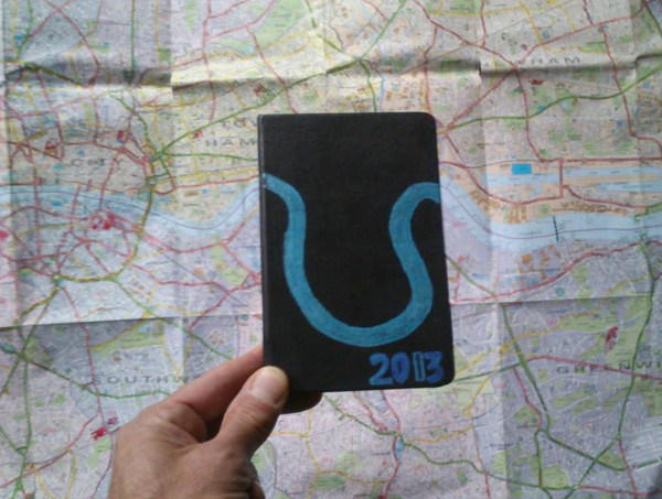
A few things stay the same though – like last year were are producing a limited edition commemorative technical T-shirt (pre-orders now sold out), there is an accompanying race for people making it a London weekend, and finally, there’s going to be a huge turnout – once again well over 1000 people, with almost 250 people coming from overseas. And of course it is organised and marshalled by the event machine that is South London Orienteers.
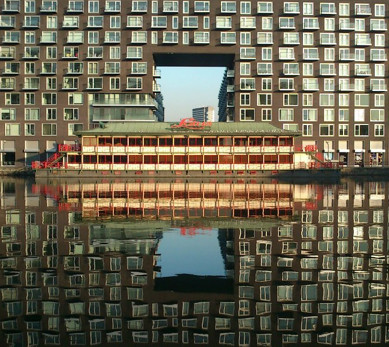 The map this year is huge – printed on RA3 sheets (slightly bigger than A3) at 1:5000, as for previous years – but this year’s map is back-to-back, with only a small amount of overlap between the two sections. The map was drawn by Remo Madella of Rem Maps, and I have been getting to grips with OCAD recently to make late updates to the map and position courses. Remo was good enough to take some nice “touristic” photos of the terrain as he moved through it, a few of which I have included here.
Right now is the “crunch” stage for organising any big event like this: handing out the last flyers, finalising permissions, making sure that landowners are prepared for the event, drawing up the necessary documentation, booking first aid and photographer, checking trader logistics, thinking about how the event centre will work and look, drafting the final details, feeding entry data into event management systems, designing and ordering race bibs and T-shirts, buying 1000 tickets, checking who has what equipment and if we have enough SI cards, allocating start times, planning the control hanging, worrying that llamas* might eat a control, hoping new construction works don’t suddenly appear, keeping the budget in the black, final tweaking of the course designs, making lots of little line and circle cuttings, checking the tide times, worrying about the weather and preparing the maps to go to the printer.
My “official” role this year is as planner, which means that I design the courses that people run. There are 13 courses this year, with most starting from West India Quay and two junior ones being based in and around the parks on the southern part of the island. I can’t tell you too much about them as orienteers don’t know their course until they pick up the map, except that all sorts of urban terrain will feature prominently on this year’s map, particularly docks and bridges – and to look out for the views across the Thames. A special feature of my favourite course this year (the Men’s Elite) is that its straight line distance is 10km – a UK record length for a purely urban orienteering course? Only in Venice have I run longer urban courses than that, and although the distance is hard on the knees, in a place like Venice – and, I hope, London – it’s difficult to run without a smile on your face!
It’s never easy organising urban orienteering events but the eventual product is always a lot of fun, particularly in a great area that deserves a big race like this. If you haven’t entered yet, entries are open for just a few more days.
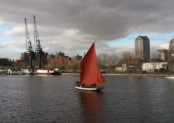
Thanks to Remo Medella, the mapper, for these great photos.