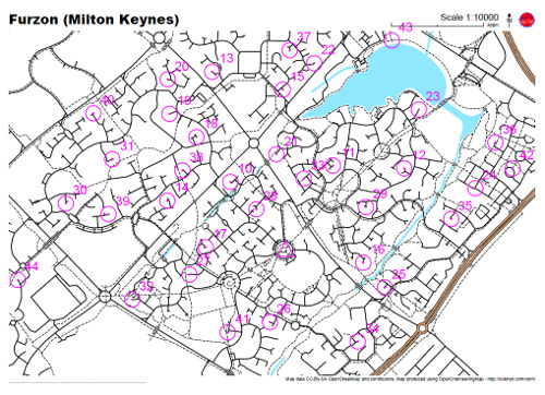
OpenOrienteeringMap now has a map builder, that will create a PDF map of any area, optionally with score-course orienteering controls on it, for you to print out and run on. You choose the scale, orientation and style – street-O, pseud-O or a special street-O without railway lines. Adornments such as a title, north arrow, logo and attribution are added.
To use it, click on the “Create a Map” link. The builder (which is written in Javascript) doesn’t exactly match the final map 100% as it is just building up a URL that gets sent to another service, powered by Python, Mapnik and Cairo which actually creates the PDF map for printing – the latter is a high-quality vector map so should look great when printed out – no jaggies, except for point-features as Mapnik trunk doesn’t (yet) support SVG icons.
Tip: The URL used to create the map is reproduced in tiny-text on the bottom left of the map – it will look like a small black line until you zoom in to 1600% or so. Copy this text and add it to the end of “http://tiler1.censusprofiler.org/pdf?” to reproduce the map. You can tweak the size (in metres) of the PDF sheet, to accommodate unusual sheet sizes, and also change the title and control positions here rather than having to recreate the whole map in the builder.
I’m going to be documenting how the PDF map is produced, on my research blog, in the next few weeks.
One reply on “OOM Map Builder”
[…] voisi olla Open Orienteering Map. Minä en vain ole saanut karttaa näkyviin Suomen kohdalta. Toinen vaihtoehto voisi olla että […]